Log Into Demo

Hardware

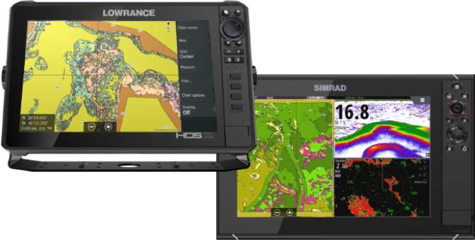
Choose the right Lowrance or Simrad Hardware to get the best BioBase maps.
View Hardware

Now Introducing Side-scan mosaics

Advanced side-looking Lowrance® and Simrad® sonar imagery now comes to life as an EcoSound Layer helping researchers identify and protect important aquatic habitats! Apply for a Free Trial

We know you need good information to do your job.

Let BioBase help automate the generation of important aquatic data and maps. With cloud-based processing and storage, you can access and share your maps anywhere!

About BioBase

Custom GIS
Service

Create customized maps for your customers and stakeholders


About BioBase

Automated creation of even the most complex aquatic habitat

Using low cost, yet powerful sonar equipment

About BioBase
Seaweed
You can't protect and manage water, habitats and fisheries without good data.
Gears
We automate the generation of maps and creation of data so you can spend your time studying how the environment is changing. Our technology informs your conservation actions.
Seaweed
We pride ourselves on our customer service. Our experienced team reviews every uploaded sonar log and map for quality, and can help you troubleshoot commonly encountered issues with data collection and analysis.
Cloud
Your maps are accessible anywhere, easily shared, and backed up in the cloud.
EcoSound

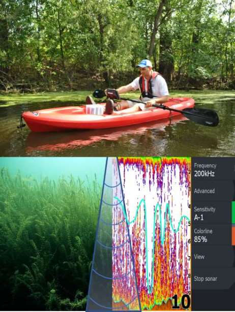
Create detailed bathymetric, aquatic, and coastal habitat maps automatically by recording sonar from low-cost, yet powerful Lowrance® or Simrad® sonar devices. See what sonar devices are compatible with BioBase and how to buy.

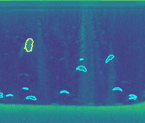
EcoSound automates the processing of sonar files with sophisticated automated algorithms based on cloud servers. Sonar files are processed automatically upon upload, and high-quality maps and spatial datasets are delivered to your secure online BioBase account within minutes and available for downloading and sharing with partners, stakeholders or customers.

All interactive maps, processed data, and data reports are backed up and archived in an easy to browse dashboard. Data reports are created automatically, are available for sharing and for exporting to a third-party GIS or statistical software.

Verify outputs with trip replay - your maps, sonar log (both traditional broadband and structure channels), and data along your track are synced, making output verification and editing easy.

Our analytical tools allow you to create polygons around an area of interest and generate local statistics for water volume or aquatic vegetation cover.


Lowrance/Simrad
EcoSound Kayak Sonar Vegegtation Collage